


 บัญชีข้อมูล (Data Catalog)

ABOUT RAMA IV AREA
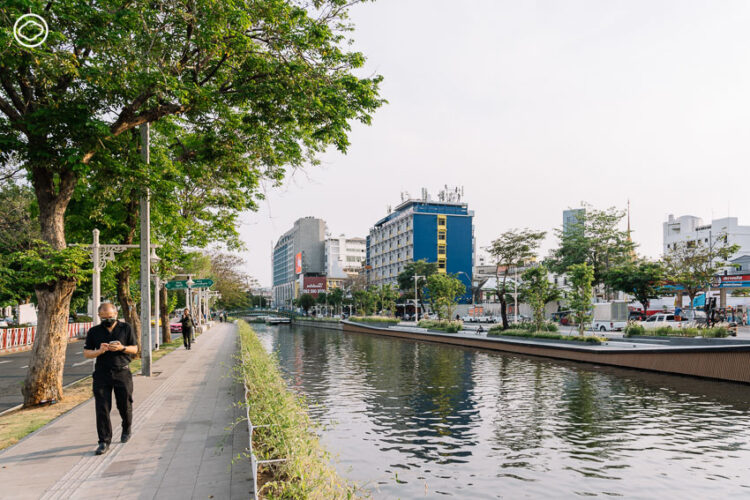
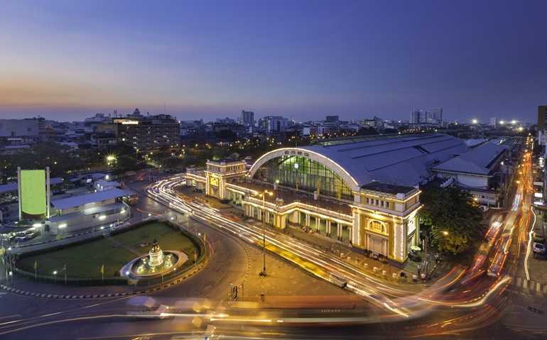
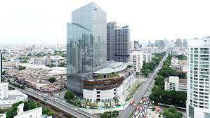
The ‘Smart City in Rama IV Area’, covering an area of approximately 10 square kilometers, is located on Rama IV Road, starting from Khlong Phadung Krung Kasem or Hua Lamphong Intersection, and extending to Ratchadapisek Road or Rama IV Intersection in Pathum Wan District, Bang Rak District, Sathon District, and Khlong Toei District. This area has the potential to be developed as an innovation district that supports Bangkok’s creative economy development policy. It consists of a central business district (CBD) with numerous commercial and office buildings, and institutions of higher education. The smart city of Rama IV has a residential population of approximately 50,000 people at night, and a population engaged in economic and social activities or a day-time population of approximately 150,000 people, resulting in a total population of about 200,000 people in the project area, with a gross population density of about 20,000 people per square kilometer.
CITY VISION
The ‘Smart City’ is a central commercial area that enhances economic competitiveness and elevates the quality of life of people and the environment according to international standards in Bangkok.
CITY GOALS
To support Bangkok in becoming a metropolis that is convenient, economical, environmentally friendly, and accessible to everyone.
CITY CONTEXT & NEEDS
The ‘Smart City in Rama IV Area’, covering an area of approximately 10 square kilometers, is located on Rama IV Road, starting from Khlong Phadung Krung Kasem or Hua Lamphong Intersection, and extending to Ratchadapisek Road or Rama IV Intersection in Pathum Wan District, Bang Rak District, Sathon District, and Khlong Toei District. It has the potential to be developed as an innovation district that supports Bangkok’s creative economy development policy, and consists of a central business district (CBD) with numerous commercial and office buildings, and institutions of higher education.
SMART CITY TYPE


Executive summary
![]()